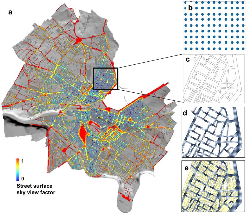
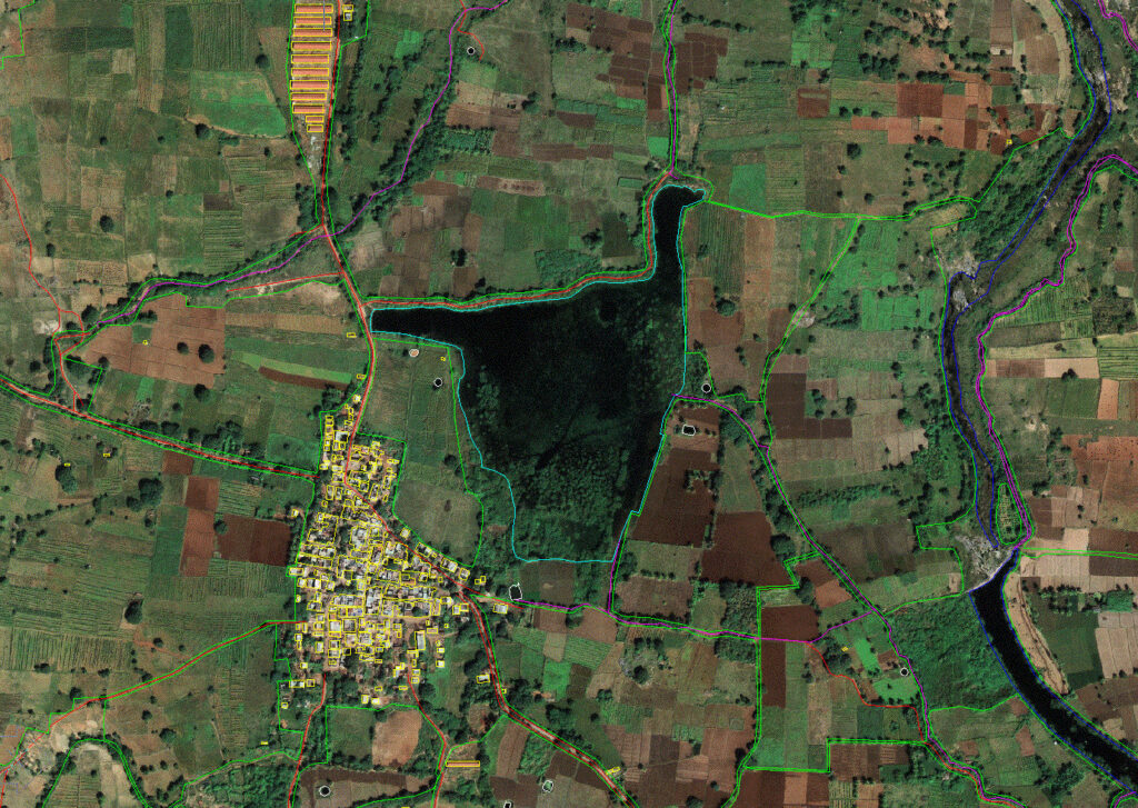

A Geographical Information System (GIS) is a procedural technique of representation of Spatial and Non Spatial data with location and using Point, Line, Polygon features. GIS provides digitization based implementation within area of interest.
Our Mission is provide accurate GIS Based digitized Map/Data with Tabular Information using various required fields and attributes. Manvi Technology & Services also provides various types of GIS based analytical platform for Spatial Query Analysis, Symbology, Lebels etc.
GIS-based systems enable Urban local bodies (ULBs) to have a record of properties accurately in line with the property tax jurisdictions of commercial, residential or industrial and provide a 360-degree view of taxable revenue stream.