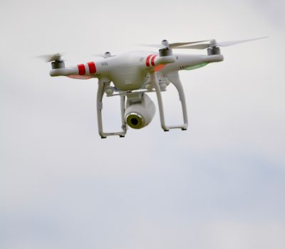
Drone Survey, Mapping & inspection
Unmanned Aerial Photogrammetric Survey is the use of Unmanned Aerial Vehicles (UAVs) or Drones to take photos for use in photogrammetry, the science of making measurements from photographs. Instruments manufactured for UAVs could be mounted on unmanned flying platforms of various sizes and types, such as octocopters. These machines are suitable for the full geodetic survey of a study site by creating a point cloud of measurements of nearly homogenous quality and accuracy. These detailed point clouds (of various types of data) could be used in line with orthophotos etc. to obtain a complex data system representing the study site. UAVs are suitable to acquire three-dimensional digital models and orthophotos mosaics for a certain area.
DGPS Survey
A Differential Global Positioning System (DGPS) is an enhancement to the Global Positioning System (GPS) which provides improved location accuracy, in the range of operations of each system, from the 15-meter nominal GPS accuracy to about 1-3 cm in case of the best implementations.
Currently we are working with DGPS Instrument to prepare topographical maps with GIS data for Jal Jeevan Mission Projects in Uttar Pradesh & Uttrakhand. Through this survey we are providing GIS based data for preparation of Water Pipe Line Network.
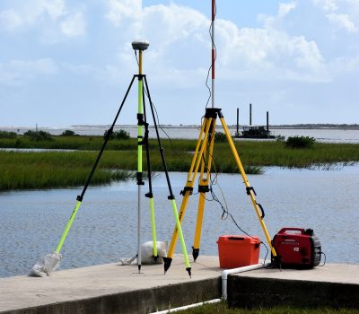

Topographical / Total Station / Land Survey
We are engaged in conducting Topographical Surveys to prepare topographical maps. Through this survey, different types of information about the surface of earth can be revealed such as: Building, Compound wall, Roads, Drains, Poles, Tree, Boundary and Canal etc.
To identify the volume of soil computing cutting filling quantities, contour survey is carried out. In order to design the layout and location of parking’s, roads and buildings, topographical maps are used. Planning projects has become very convenient with the help of these maps.
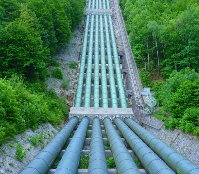
Pipe Line Survey (Water, Gas, Oil & Sewage)
We are eminent service providers conducting “Pipeline Survey” on behalf of our valuable customers. We make use of latest technology for carrying out the survey in the most effective manner. Our team of expert professionals is equipped with vast domain knowledge that enables it to suggest feasible courses of action. A detailed analysis of the findings is made available to the customers for their reference. Our services are made available at competitive rates.
Currently we are working with DGPS Instrument to prepare topographical maps with GIS data for Jal Jeevan Mission Projects in Uttar Pradesh & Uttrakhand. Through this survey we are providing GIS based data for preparation of Water Pipe Line Network.
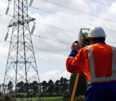
Electrical Transmission Line Survey
We specialize in the domain of providing Transmission Line Survey to the clients. This service is provided strictly in compliance with the ISO and C M M standards. We are equipped with latest technology and advanced machines which enable our clients to guide our clients in the right direction. Furthermore, we are providing this at suitable price.
Features:
- Execution in tandem with clients detailed guidelines
- Flexible execution
- Prompt delivery
